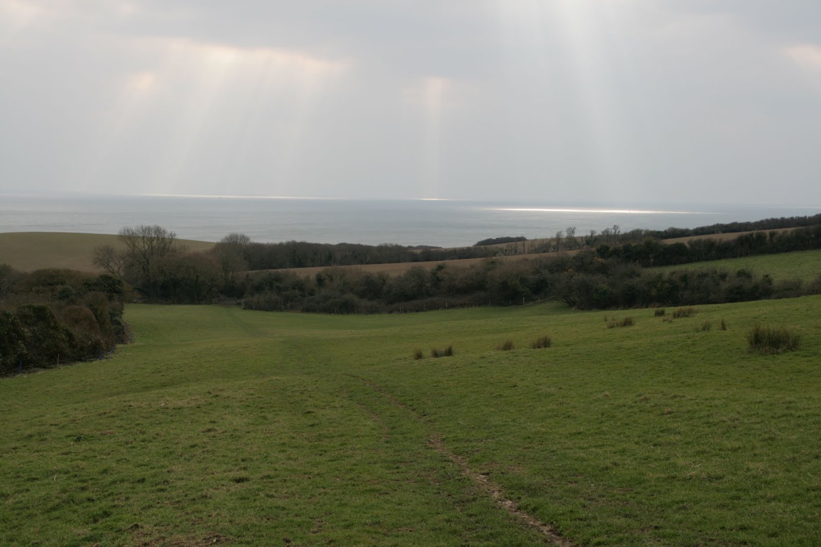
Powerstock is one place in Dorset that you need to double the amount of time you think it's going to take to get there. The roads are narrow and twisting and there just doesn't seem to be any quick way of getting there. Having said that, I still managed to take a longer way than necessary on this most glorious of spring days.
I seem to have developed a penchant for Dorset's historic churches and now scrutinise the map looking for what I think might be a church in that category - remote and perhaps next to a manor house, indicating a smaller church used by the manorial family.
At any rate, I'd picked out at least one today - Holy Trinity Church at Bothenhampton, so, with that as my priority, I set off as Powerstock's St Mary the Virgin's church struck 10 0'clock (not realising that I'd forgotten to put my camera clock forward which meant all my photos were an hour out - crucial when the GPS clock is reset automatically and therefore the photos do not marry). I quickly found the dole table - used in days of yore to 'dole' out bread to the poor, but did not find the church benchmark (that's the second time I've looked for it).
 |
| St Mary the Virgin Church, Powerstock - SY5196 |
 |
| Dole Table |
I set off westwards alongside the Mangerton River, accompanied by the incessant call of the Chiff Chaff - my first spring visitor for 2016. I followed the river for about a mile to West Milton, a delightful little village. The first thing I came across was the rather odd-looking redundant church tower of (possibly) St Michael's. It stands forlorn and alone (but with a useful bench), the rest of the church having been demolished in 1977. (Whydemolish it? One wonders.) There is a lovely story about this tower. There is a little lane leading from the Street to the church which apparently was to be used
only by people
on foot,
on Sundays going to church. It was therefore known as Shut Lane. One day in the 1840s, however, a doctor from Bridport was rushing to reach a woman in the village who was in labour and he pushed down the 'Shut' sign and rode along the lane on his horse. Since then the little lane has been open to people and animals, every day of the week. I think God would approve!
 |
| St Michael's Church Tower - SY5096 |
 |
| Footbridge over the Mangerton River near West Milton - SY4996 |
 |
| Shepherd's Hut near West Milton - SY4996 |
 |
| Weir on Mangerton River - SY4996 |
I wandered through the sleepy village of West Milton and headed south-west, still following the course of the Mangerton River (quite a popular fishing river). I passed a beautifully-preserved and painted shepherd's hut and crossed the river by a weir before following the contours of Mangerton Hill and wishing there wasn't quite as much cover to impede the view across to the Mill.
The Water Mill at Mangerton is a visitor attraction, but I was oblivious to that fact as I walked round its rear side, choosing instead to take a photo of Mangerton Hill for that gridsquare.
 |
Mangerton Hill - SY4995
|
I was glad the footpath had been diverted in 2005 (as a sign told me). It shortened my route considerably. I was gaining height now and looked back towards West Milton - a very attractive view enhanced by the fluffy cumulus clouds I love.
 |
| Looking back towards West Milton from Mangerton Hill - SY4995 |
I was getting dangerously close to civilisation now - in the form of the metropolis of Bridport. I took a boring photo of a farm sign for SY4894, having decided to leave SY4994 for my return visit to the square later in the day.
 |
| Boarsbarrow Farm - SY4894 |
I'm not sure why, but this farm had lots of calves all cooped up in individual sties. I wondered how healthy and comfortable this would be for the animals.
 |
| Cattle pods at Boarsbarrow Farm -SY4893 |
Although I could see Boarsbarrow Hill, I was not in the same square, so couldn't yet take a photo, well, I could, but it didn't count - yet! Coneygar Hill did though.
 |
| Coneygar Hill - SY4893 |
I walked down Green Lane with the sound of rushing traffic ever increasing. A week ago I had been on Islay, bagging my final gridsquare in the middle of Loch Gruinart with not a car in sight. Now I knew it would take a while for me to be able to cross a road with the volume of traffic using it. I sighed as I then thought of the many Green Lanes we'd wandered along since we started walking in Dorset. I think it's a generic name used for any pedestrian access way which has not been paved. Such tracks would have been used to drove cattle, but were never designed for motor vehicles, hence my annoyance when I discovered later in the day when I rejoined the same lane at a different point, that a car had been along and fly-tipped some mattresses. There is simply no excuse for such selfish behaviour.
Having crossed the main road, I was in the next square for more or less its whole length. I stopped at Jellyfields Nature Reserve and ate my lunch - comfortably on a park bench whilst watching Small Tortoiseshell, Brimstone, Comma and Peacock butterflies enjoying the first real warmth of spring. There is a sign here saying that a wild flower meadow has been planted. It was too early for wild flowers other than Lesser Celandine, but it would be nice to return later in the year and see which species grow here.
 |
| Jellyfields Nature Reserve - SY4792 |
I ambled along Crock Lane, now well and truly in the realms of civilisation with people washing cars and pottering in their gardens. I mused on the meaning of Jacelines [
sic] Crock, which to all intents and purposes looked like a drain to me.
 |
| Jaconline's Crock - SY4792 |
It was time to go seriously uphill now, although the hill in question is not named on the map. It probably has a local name, but I shall call it Bottom Wood Hill as that's the closest name on the map.This hill affords excellent views of Golden Cap and the metropolis of Bridport (I really didn't know it was that big!)
 |
| View westwards over Bridport to Golden Cap from Bottom Wood Hill - SY4792 |
 |
| Bottom Wood Hill - SY4792 |
At the top of the hill I made a serious mistake, which, in my defense, was most definitely
not my fault as the footpath had been diverted again, only this time there was no notification of it. I wanted to take the southerly path marked on the map, rather than the easterly one, only, I quickly discovered any path that once was there, is now undermined by badgers' setts and overgrown with bracken and brambles. I was just glad it wasn't later in the season when it really would have been impenetrable. Praying with every step that I wouldn't put my foot down a badger sett, I trod cautiously, breaking branches and getting prickled by brambles at every turn, determined I wasn't going to retrace my steps to find the correct path. Eventually I came upon a sorry excuse for a fence which I easily stepped over and found myself on the correct path. I breathed a huge sigh of relief and expanded my lungs to breath in the spring air and aroma of Lesser Celandine (if, in fact, they have any aroma). There was the most splendid display bordering each side of the path.
 |
| Lesser Celandine leading down to Bothenhampton - SY4791 |
I stood on tiptoe and peered round bushes to catch a glimpse of my destination, but really didn't see Bothenhampton Church until I was on top of it. It was obscured by the sprawling conglomeration of Church Farm. Upon reaching the church the ubiquitous summer sound of strimming reached my ears - a necessary evil (and one I could have used half an hour ago during my trailblazing episode). I was glad I'd given into the pangs of hunger and exhaustion and ate my lunch when I did - to the accompaniment of Chiff Chaff and Wren. I had originally thought I'd wait until I'd reached this church.
What can I say about Holy Trinity Church, Bothenhampton, except that it is currently my number one in favourite Dorset churches. Why? Well, it required some determination to get here and I'd walked a long way to reach it (about 6.5 miles). The Lesser Celandine 'red carpet' afforded it some significance, but it is its simple, rustic nature and yet very spiritual atmosphere which moved me the most. Dominating its interior are four ornate panels depicting the Ten Commandments, the Lord's Prayer and the Believer's Catechism, fronted by a sturdy wooden communrion rail and some faded kneeling stools. Sunlight streamed in through the plain glass windows and the overall effect was one of beauty and tranquility. now cared for by the Churches Conservation Trust, the church is no longer used for regular worship, there being another Holy Trinity Church at the other end of the village.
 |
| Holy Trinity Church, Bothenhampton - SY4791 |
 |
| Inside Holy Trinity Church - SY4791 |
I retraced my steps using the correct footpath and grabbing a stick to help me as this is the steepest section of the walk. I revelled in the views from the top of the hill and in the surrounding birdsong. What a glorious place to be on your day off! By now I was in my T-shirt and certainly had no need of the heavy jacket weighing my rucsack down!
 |
| View south from Bottom Wood Hill - SY4792 |
 |
| Holy Trinity Church from Bottom Wood Hill - SY4792 |
You would have thought I'd learnt my lesson about straying off the path, but, no, I decided to take a short cut down the hill towards Hyde and started following a faint path heading in the right direction. off course I ended up descending a very steep slope whilst avoiding yet more badger setts.
Eventually I ended up at Hyde, part of Walditch and not in Greater Manchester (where I passed my driving test). I took a quick look at the church which was feeling very patriotic today and sported a St George's Cross. This is another quaint village with its very own red phone box book exchange and a green area with bench (good spot for lunch - reading material provided - except no stream running by).
 |
| Walditch - SY4892 |
 |
| St Mary's Church, Walditch - SY4892 |
 |
| Beautiful stained glass window, St Mary's Church, Walditch - SY4892 |
 |
| The Red Phone Box library - SY4892 |
 |
| Walditch Common - SY4892 |
Only one thing marred this beautiful village and that was my inability to access the footpath at Berry Farm to the Dorchester Road. Try as I might (which involved asking a local for help), I couldn't get through the massive gate, so I gave up and walked up the road instead. This time I had to wait a long time before crossing the A35. National speed limit applies at this point, unlike earlier in the day when, close to Bridport, the speed limit was 30 mph. Also, the northern side of the road is dual carriageway so I stood for a long time before safely being able to cross.
It was here that I saw the fly-tipped articles as I wandered up Green Lane to join the waist of my figure of eight. Here I headed north-westwards towards Loders and past Boarsbarrow Hill again - this time in the correct gridsquare!
 |
| Boarsbarrow Hill - SY4993 |
 |
| Bar Lane, Yondover - SY4993 |
Yondover sits on the southern banks of the River Asker, but I barely acknowledged it as I crossed the bridge into Loders. I sat by the river, washing my boots in its clear waters and drank the last of my tea, my water having just run out.
 |
| Loders - the bridge over the River Asker (not much in photo as there was a car marring the view) - SY4994 |
I then erred carefully and deliberately from my original route - not a mistake this time. I recognised the dismantled railway which, although not marked as a footpath is most definitely such. I even saw some children walking along it. The red-haired girl was very friendly and, seeing my binoculars, asked if I was looking for wildlife. upon answering in the affirmative she told me where to find Kingfishers. This reminded me of days gone by when Tim and I would wander off on our own looking for wildlife. They are cherished memories and I was glad to see children still being out enjoying the countryside when so often they sit indoors glued to monitors of all types and sizes.
 |
| Dismantled railway between Loders and Toller Porcorum - SY4994 |
I passed some strip lynchets and some delightful new-born lambs. I just adore watching them gambol - such a lovely word and I love the way their mothers watch you with suspicious eyes and nudge their offspring into action.
 |
| Lamb at Powerstock - SY5094 |
 |
| "Keep away from her; she's bad news!" |
Mappercombe Manor is another massive mansion with terraced gardens and outstanding view southwards. It marked my last gridsquare for the day.
 |
| Beautiful magnolia in blossom - SY5195 |
 |
| Mappercombe - looking south - SY5195 |
 |
| Heading back to Powerstock. |
Walk length: 11.5 miles
Churches: 4
Trigpoints: 0
Gridsquares: 11