I seem to be staying in the very west of the county and leaving quite a few blanks further east. Oh well, they shall all get done eventually. Looking at my Memory Map image now, there are lots of red lines representing the squares I have already done and far fewer blanks. It's getting quite difficult to work out which squares I've still got to do.
I decided to start the year with an easy walk and one which I imagined would be relatively mud free. There's lots of exciting (or intrepid) squares to do further east, but I'm saving those for when Jane can walk with me!! If she reads this she'll have been pre-warned!
So I started in the village of Hooke, parking in the exact same spot we did last month/year on our previous walk. It's a lovely sleepy village and easy to park by the church. The forecast wasn't good, but I was beginning to forget what it was like to walk in the sunshine/summer and on dry paths. I know that whenever I look back on the year's photos and see the drab days featured in photos taken on a day like today when the there's no sun and the trees are looking so sorry for themselves, I am tempted to wonder why I bother walking in the winter. When I'm actually out here, however, relishing puddles, mud and the sense of adventure and achievement I get simply from walking into an arbitrarily marked gridsquare, I don't think too much about it. It doesn't seem as drab somehow.
I turned off by the mill pond and asked silhouette of a farmer whether I was on the footpath. His collie was friendlier than he was, but at least he pointed me in the right direction. I walked up Mill Lane and crossed Rampisham Hill at Chalk Corner. As I crossed the road and entered another field I could see what was left of the once iconic landmark of the Rampisham masts. I was soon in my first new gridsquare of the year.
 |
| Mill Lane, Hooke - ST5300 |
 |
| One of only three masts left on Rampisham Down - ST5400 |
I am not sure what the depression is that is shown on the top photo. It is quite marked in the landscape, but not marked on the map.
 |
| A close up view of one of the masts - ST5400 |
Rampisham Down was the location of one of the main transmitters of the BBC World Service in Europe until it was shut in 2011. There were once 26 transmitter pylons on the down. These were taken down last year and the ones that are left are presumably used as mobile phone masts. It's a sign of the changing times in which we live that I have been in the south-west less than three years and already I have witnessed a significant change in the area. Although many people were sad to see this historic landmark disappear, others have celebrated the decision. Rampisham Down was designated a Site of Special Scientific Interest (SSSI) in 2014 for its special grassland and heathland habitats. Developers British Solar Renewables have resubmitted proposals to develop a smaller (but still highly profitable) solar farm on arable land adjacent to the SSSI, so that they can make use of the high voltage electricity connection to the national grid – which was there to supply electricity to the Short Wave Radio Transmitting Station, and was one of the things that made Rampisham Down so attractive as a site for a Solar Farm in the first place.
One things for sure now, though, no-one wants you on that land!
 |
| Warning sign on Rampisham Down - ST5400 |
I joined Kingcombe Lane in a flood, but have included this photo to show you what I didn't think of as being a huge inconvenience. I want to remember this in the summer - this is entirely normal and we've grown quite blaze about such flooded occurrences. Mud? What mud? Flood? You mean that diddy iddy puddle not big enough to drown a midge in?
 |
| Flooded? track near Kingcombe Lane - ST5400 |
I was just about to get my camera out ready to photograph ST5500 when a collie dog ran out of the hedge and took me by surprise. The sound of a tractor's engine on the other side of the hedge gave away the whereabouts of its owner, to whom I encouraged it to return. It hung around for a few minutes until I'd disappeared round the corner. I'm always a little wary of dogs if their owner is not in sight; they're so unpredictable. Collies are usually OK though.
Now I could relax to take my admittedly very boring photo of the road.
 |
| Approaching Kingcombe Cross Roads - ST5500 |
 |
| Kingcombe Cross Roads - ST5500 |
I hesitated as I approached the A356, not because of the traffic this time, but because a tree surgeon was busy cutting down a tree, albeit a small one. I waited until I knew he'd seen me before I approached the crossroads, then I ran across and headed down the road to Rampisham. This was purely gratuitous - simply for me to gain another gridsquare. I was going to have to walk so far along the road until I could see I was in the square in question (ST5501). I don't like doing that at all, but there are no footpaths in that gridsquare and I'm restricting myself to having to actually walk into a square to photograph it. It doesn't count if you've driven into it, stop the car, get out (or, worse still, don't even bother getting out) and take the requisite photograph. I know I did it quite a few times on Islay, but I've stopped that now. I'm cured!
 |
| The road to Rampisham - ST5501 |
I walked back to the crossroads, turned left and then almost immediately left again, glad that the little bit of A356 I had to walk along had a very wide (if slightly muddy) verge to walk on.
It was very windy as I walked into Wraxall Woods along a road I'd started using as a 'shortcut' to the A37 since our house move last year.
 |
| Road to Higher Wraxall - ST5600 |
I like walking along roads that I usually drive along It makes me feel I'm really getting to know the road. I get a huge sense of satisfaction from that. I pondered such things as I walked along the rather boring road in featureless weather to Higher Wraxall. I began to get a sense though that this wasn't the first time I'd walked along this road; in fact I was beginning to remember a short section of gratuitous walking along this road last April when I'd first visited Rampisham. Was this gratuitous walking? I told myself it didn't matter as I started to feel pangs of hunger and wondered how far I'd still got to walk before I reached the church, my designated lunch spot.
 |
| Manor Farm, Higher Wraxall - ST5601 |
 |
| Part of Manor Farm, Higher Wraxall - SY5601 |
With nothing to photograph and a quiet bird life around me, it seemed a long walk into the village and I was glad to finally open the church porch door and sit down. I checked the church door. Locked again. There was a notice with phone numbers to ring if you wished to go inside the church. i'd do that in a minute after my lunch. I wanted to be able to enjoy my Brie and wholemeal roll with home-grown tomatoes and home-made flapjack (in case you're wondering) without trying to find a signal to phone someone and then wonder if they were going to turn up and disturb my repast. As it happened, someone did turn up and disturb my repast.
Upon the sound of approaching footsteps I drew my sword, no, I called out, "Halt who goes there?" No, I didn't; wanting to warn whoever it was that I was there, I called out, "Don't be afraid I'm here in the porch!" It reminds me now a little of the angels appearing to the shepherds to announce Jesus' birth. At any rate, the lady who arrived with a 2018 church timetable to pin on the noticeboard didn't seem in the least bit surprised to see a muddy walker sitting with a thermos flask and picnic in her porch.
I told her this was my fourth visit to the church and that I was just about to phone the number to ask for the key. "That would have been my husband you'd have got," she enlightened me. "I'll let you in." She went on to explain that they'd been forced to lock the church because a man used to sleep in the porch of the church, which no-one minded, but then he started to go into the church and leave quite a mess. It seemed an unlikely spot for a vagrant (is that the politically correct term) to find, out of the way and an affluent village by all accounts. Still, it is a shame that more and more churches are having to lock their doors which is the exact opposite of what Jesus espoused.
Once inside the church it took a while to find the lights, but, once illuminated I found a lovely church with candles in place for Christmas still.
 |
| Inside St Michael and All Angels, Rampisham - ST5602 |
I had an extended lunch break at the church as Stephen phoned to ask about domain renewal! I've often received funny phone calls when out; in fact I think I should start keeping notes about them and the locations on which I've received them. I think the most unusual was on the remote Isle of Rum at the end of a two day hike. I was hiking across the island (population of about 30) in the middle of nowhere, laden down with one rucksack on my front and one on my back and my binoculars and camera round my neck when my mobile phone started ringing. It was my boss wanting to know which days I wanted to work the following week!
Leaving Rampisham I headed north-west towards Uphall and along the now mended road which had nearly thwarted our walk back in April.
 |
| Where the road was closed - ST5502 |
I was now entering new territory as I headed westwards to Common Farm, apparently for sale, or at least a property on this road was. The sign read 'Viewing strictly by appointment only'. I looked an unlikely cold caller, but I hoped they didn't see my approach and think that was my intent.
I didn't see a soul as I entered another squelchy field and headed up hill to Rampisham Hill. I was quite excited now because I'd seen the name 'Aunt Mary's Bottom' many times on the map and chuckled to myself. (Admit it, it's funny!) Now I was actually going to walk through Aunt Mary's Bottom. When you work in a gastroenterology department, this is no laughing matter - or pleasant thought come to think of it, which I was trying not to!
I was pleasantly surprised by Aunt Mary's Bottom. I do wish I could find out more about how these places got their names though. I also wish that you could do a proper walk through these lovely valleys. It's impossible to do a walk of any length here because you're restricted by roads, major and minor on all sides and there is a bit of a dearth of footpaths.
 |
| Aunt Mary's Bottom - ST5402 |
Still I meandered slowly along the top of Aunt Mary's Bottom, contemplating which footpath to take. Strictly speaking the bottom footpath was really her bottom and I was walking along, well, her chest or something. Then the two footpaths meet up in ST5401.
 |
| Aunt Mary's Bottom - ST5401 |
I was now heading back in the same direction towards the Jolly Sailor Copse. (I kid you not!) and Linnet Lane. I passed some earthworks - again not mentioned on the map.
 |
| Earthworks at Jolly Sailor Copse - ST5402 |
Just as I was congratulating myself on having avoided a lot of mud that day, a dog walker passed me. "Isn't this mud terrible," she moaned. "I hate this time of year!" She'd parked on Linnet Lane (another delightful name) and walked all of 50 yards before bemoaning the glorious fields I'd just relished.
I emerged onto the A356 by yet another cross roads which I'd driven past many times before and wondered what the road was like. I went straight across to Linnet Farm after taking the requisite photo.
 |
| Rampisham turn off the A356 -ST5302 |
It was now raining steadily and I tucked my binoculars away underneath my jacket, reluctant to stop to put them in my rucksack when I was so close to the car.
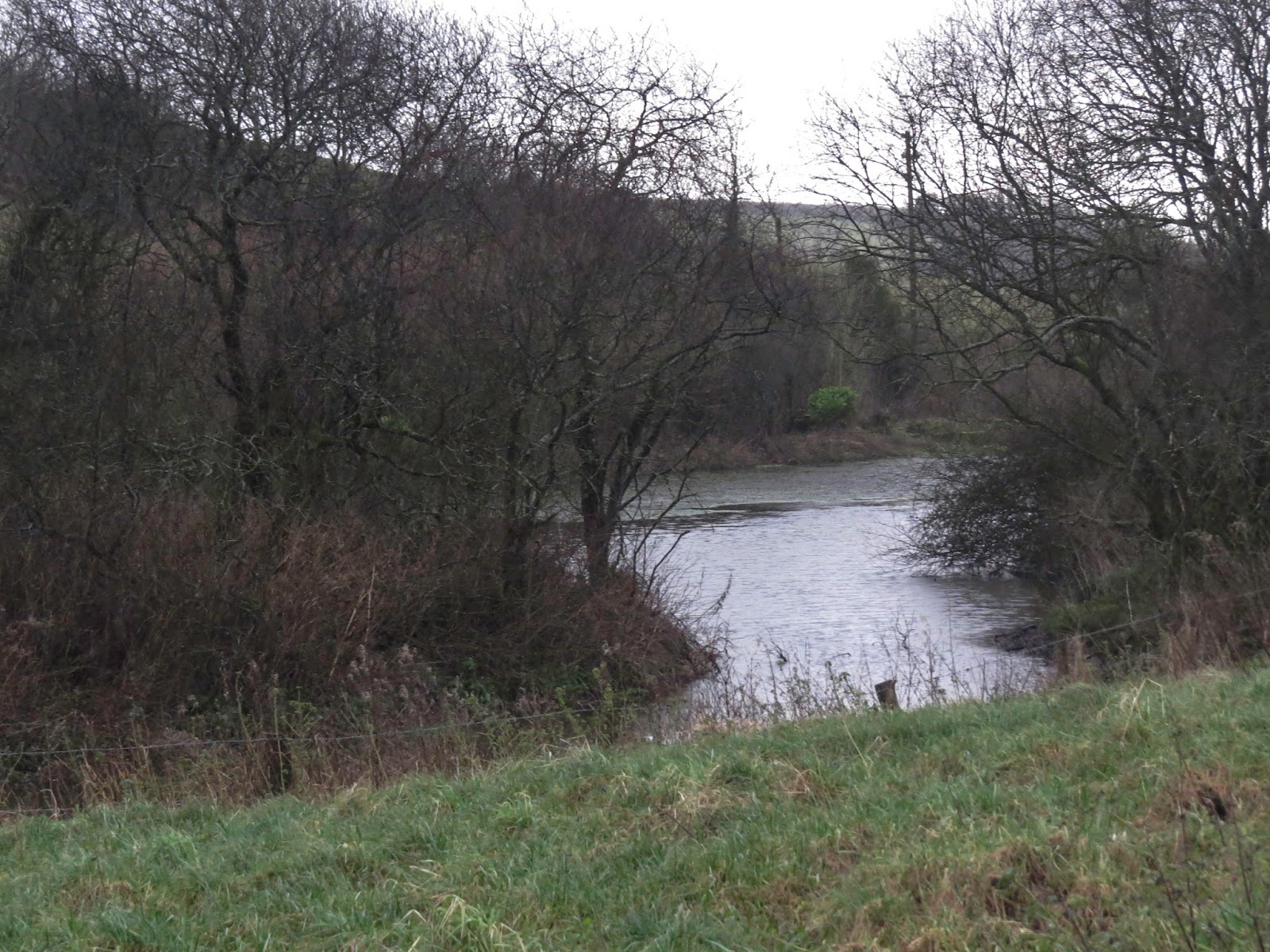
Just one more photo to go. I waited for Park Pond before getting my camera out again and snapping a quick photo or two.
 |
| Park Pond near Hooke - ST5301 |
I re-entered Hooke at Hooke Farm. I had left a sleeping village and returned to a sleeping village. I was sleepy too.
Number of new gridsquares: 8
Number of miles walked: 8.8