"How long is this walk exactly?" Paul asked. You would think he had learned to stop asking silly questions like that. We had finally donned our walking boots and set off through skeletal woodland and naturally after a morning of sunshine, the heavens then opened. "It's definitely below 10," I said with confidence. "Somewhere between five and ten," I elaborated, hoping that would satisfy him. "And there's nothing gratuitous about it?" he pressed, "no extra little bits just for 'fun'?" I chose not to answer that question. After all, my walks are designed in the most circuitous method possible in order to include as many gridsquares as possible and usually include those which no-body else would consider walking in.
So it was today - but my walks also usually feature something of interest and that was the case today. We took a descent route down Hillfield Hill which is not marked on the map, but which zig-zags all the way down to the bottom and is less steep than the road which we have walked up before. We sheltered in the conifer trees for a bit waiting for the rain to stop and then continued to the Friary of St Francis, where we walked on the sensory path and into the Secret Garden. The sensory path is designed to be walked on bare-foot with lots of different materials so that you can feel different textures and then wash your feet at the end. In theory this was a great idea, just not in winter and hopefully there's no animals around to add any undesirable extra-sensory material to the experience!
 |
| Hillfield Friary with the Sensory Garden on the right below the circle - ST6304 |
We ate lunch at a conveniently placed bench in the Secret Garden and continued our wander through these grounds, stopping to admire Opposite Leaved Golden Saxifrage en route - an early spring botanical emerger.
 |
| Opposite-leaved Golden Saxifrage |
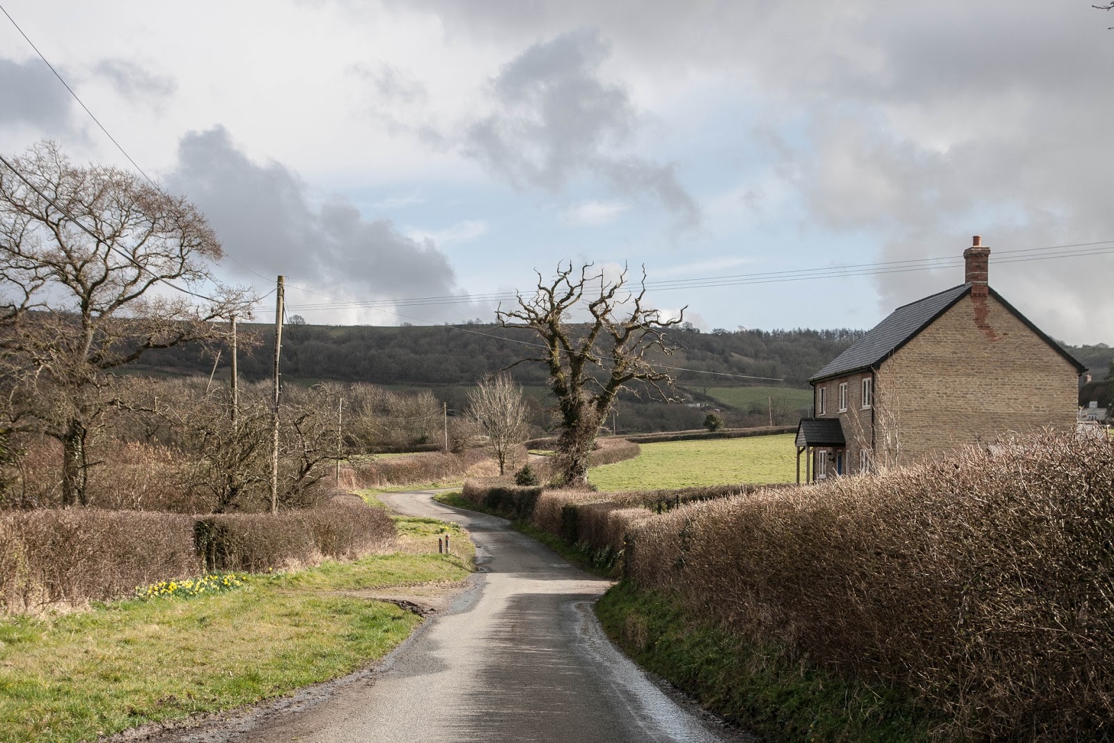
It was lovely walking through the woodland rather than the road, but eventually we had to join the road and continue our trek to Great Head, a rather important sounding name for, let's face it, nothing more than a T-junction, but looking at the map again, I see contours forming a spur (yes, I did a geographical course not so long ago), which could be said to be a great head so that probably explains it!
We headed north into pastures new along a footpath through fields. We watched a couple of Roe Deer flee, one of them getting quite panicky because its mother found a way out of the field and it didn't. We decided not to loiter, but to let it find its own way out and get out of its 'space'. We kept seeing the same two deer for quite a while after that. Do deer get stuck in the mud ever? I wondered as we ploughed on through muddy fields, occasionally watching the graceful deer bound with ease across the same fields, covering the same ground in a fraction of the time.
 |
| Near Newlands Farm - ST6205 |
 |
| Near Newlands Farm - ST6105 |
 |
| Newlands Farm with its ornate gateway - ST6105 |
We crossed the Wriggle River Lane at Newlands Farm and headed for Scotley Farm across another field, crossing a tributary of the Wriggle River en route. That must be my favourite name ever for a river!
 |
| Scotley Farm - ST6105 |
We then headed to Pleck for the gratuitous bit of the walk. We were passing Dyers Farm to Woolcombe, simply for the square of it! We'd done a walk 18 months ago just slightly further north and now, looking at my route map and squares done, I realise with absolute horror that I have somehow neglected to photograph a square which is probably my most visited square in Dorset - one near Melbury Bubb, my favourite village. I can't quite believe it and will have to rectify that very soon!
For now, we plodded on, a little disconcerted by the accompanying sound of a farmer's quad bike and his sheepdog close by. Despite being on a footpath, we found the sound quite unnerving, preferring to walk with simply the sounds of nature around us; it felt ever so slightly like we were being watched as we couldn't work out what the farmer was doing as there were no sheep visible anywhere.
 |
| Higher Woolcombe Farm and pond (the pond isn't marked on the map) - ST6005 |
We to-ed and fro-ed quite a bit at Higher Woolcombe Farm as the footpath signs disappear and you're left to wonder which gate to attempt to go through. With the ever present sound of the quad bike engine near by we didn't want to get it wrong!
We continued without event into the next gridsquare by dint of a diverted path round a reservoir. We were only in this gridsquare for a few metres, so I snapped a boring photo of the field.
 |
| Near Woolcombe - ST5904 |
We were now near the Bristol - Weymouth railway line which we'd crossed on the aforementioned walk, but we were heading away from the railway and into a more interesting looking field with an animal in it. "Is that a fox?" I asked, looking through my binoculars, "Yes it is!" I answered my own question. "A dog fox." We managed to find a dryish spot to sit for another cup of tea hoping to see the fox again, but it didn't oblige.
 |
| Near Woolcombe, and the hill where we saw the fox - ST6004 |
I'd hoped we were following the fox's course, but our path took us eastwards, back in the direction we'd come. "Isn't that the farm we passed half an hour ago?" Paul asked pointing northwards, "Well, yes!" I admitted, "I told you we were doing an extra wee bit today. We're passing it from a different angle now."
At the top of Alder Moor by an old quarry we were disgusted to find evidence of clay pigeon shooting where the cartridges had been burnt and their remains left in a dirty great pile on the floor.
 |
| Clay pigeon cartridges - Alder Hill Quarry - ST6004 |
Why can't people come back and clear up after themselves? What a slight on the countryside!
We found another crossroads of paths but the one we wanted didn't exist, or at least it didn't seem to., so we walked back along the road and then through the same field of cows we'd passed earlier back to Dyers Farm.
 |
| Dyers Farm, Pleck - ST6104 |
We turned right at Pleck and entered the small hamlet of Batcombe.
 |
| Thatched cottages at Batocmbe - ST6104 |
Others have bemoaned the dearth of rights of way in this lovely hamlet. It is impossible to do a circular walk to the church here. You have to make a diversion to it there and back, which probably means it is rarely visited. We decided not to make the diversion today; having done so in the past. Instead, we took a footpath left which joined Drive Lane near its junction with the road at Great Head.
 |
| Drive Lane - ST6204 |
We then turned right onto Hendover Coppice, a Dorset Wildlife Trust reserve and a path we had walked on before with the group. It is a tough uphill climb through amazing chalk downland to which we must return in the summer to see which species of butterfly are around. I hope we can remember all the places which I keep saying that about!
 |
| Hendover Coppice - ST6204 |
 |
| Hendover Coppice - ST6204 |
 |
| Hendover Coppice - ST6204 |
It hadn't been a long walk, but the last mile seemed to drag on. Finally we were back at the road, amazed at just how steep that turn off is.
 |
| The Batcombe turn off - ST6303 |
I've often wondered if anyone attempts it in snow or ice - and had we visited a few days later we would have found out for ourselves as the Beast from the East Part 2 was upon us. I'd love to see it in all its winter glory. For the time being, we were glad to be back at the car with a few more miles on my boots and a few more gridsquares for my rucksack!
Number of new gridsquares: 5
Number of miles walked: 7.8
Number of deer we saw: 2
Number of foxes we saw: 1
Number of clay pigeon cartridges we saw: 164 (approximately)


No comments:
Post a Comment