Showing posts with label Ringstead Bay. Show all posts

Sunday, 14 August 2016

Ringstead to Osmington Rings

The inspiration for today's walk came from the seldom occurring and very sudden desire to go wild swimming. After a little googling we discovered that Ringstead Bay is quite a secluded place for swimming - and there's even an unofficial naturist beach there on the east side of the beach. In case you're wondering, no we weren't going to go skinny dipping, and I can only think that this aberration of character derived from the searing heat of the day before, resulting in the desire to quickly cool down.

Anyway, off we set with a route planned to cover a little bit of coastline and the south-west coast path that we hadn't yet done. Parking at Ringstead we immediately came across a potential east beach user, a very tanned and long silver-haired matureish gentleman was sitting reading the newspaper - IN THE CAR PARK - in his mobile home, with the door wide open and with not a stitch on! Yes, we tittered like children, "It's alright as long as he doesn't get up," Paul quipped. Being parked next to him, it was difficult to avoid looking in his direction as we busied ourselves with rucsacks and hiking boots. He proceeded to put a towel round his waist, get out the van and wee against the side of his van whilst Paul rapidly tried to find the National Trust twitter account to lodge a complaint.

We decided against taking our fleeces. "Nine times out of ten I regret it," I said, firmly closing and locking the car with fleeces still inside. Sadly, I had to leave my binocs too. I can't bear it really (and don't tell my brother), but until I get a lighter weight pair, I also can't bear the weight round my neck, especially in the heat. The swimming stuff also remained in the car; it was a long shot. One day I'll do it!

Some paragliders were already in the air, this being a popular spot for this activity. I decided I thought it wouldn't be too bad, but then as we watched them being blown out to sea and high above the land, I changed my mind with a little shudder of fear. Some of them appeared to be lying down in sleeping-bag like seats.

There is a plethora of paths here, not all of them marked on the Explorer map.

The seedheads of all types of thistle were being carried by the wind and gathering in places on the ground - there should be a word for this. 'Thistlesnow' Paul suggested. I like that because it does give the impression of snow. We followed a different one to the one we'd been on before when we came with the Dorset Walkers (Hi John!) as I wanted to visit the little wooden chapel here - St Catherine's by the Sea. What a delightful little chapel this is, with its own garden for picnics. Rebuilt in 2010, it is now only occasionally used, including on Sundays throughout the summer for tea and cakes!


St Catherine's by the Sea - SY7681

We were delighted to see Wall Brown butterflies on our walk, although it didn't perform for the photo!

Wall Brown

The views today were stunning. You can see why it's such a popular place, except for the pebbly beach. I always think it must be very uncomfortable to lie on such a beach. there were a few people in the sea but no sign of our mobile home user (thankfully)

Ringstead Bay with Portland in the distance - SY7581

We decided to have a cup of tea on the beach and then walked for a short stretch along the beach to the steps which led back to the coastal path. We walked along lovely shady woodland paths and then passed two WWII coastal artillery searchlights.

CASL - SY7481
Osmington Mills was mobbed. We were ready for lunch, but decided to get through the busy seaside resort before stopping again. The Smugglers' Inn  looks an attractive place to stop for a bite to eat though.

The Smugglers' Inn, Osmington - SY7381

We followed the south-west coast path inland now and uphill towards Sandy Barrow, walking alongside the biggest campsite I think I've seen and marvelling at the tents pitched on a 45 degree slope!

Sandy Barrow - SY7382

We somehow missed the path westwards here, but rejoined it a little further up where we sat on a grassy slope with our lunch. We then followed a track to East Farm, where there was an unexpected cafe, an overgrown stile which we avoided, choosing to walk through the farmyard instead to the main road - the A353 through Osmington. 


Near East Farm - SY7282
Small Tortoiseshell near East Farm - Butterfly Conservation are asking for records of this species
Having crossed the road, we walked through the village for a bit before striking off north-east and uphill to the ridgeway. It was a steep climb.

Osmington - SY7383

At Pixon barn there is a convergence of paths. This must at one time have only been a barn, but now there is a modern house here.

Pixon Barn - SY7383

We turned south-eastwards now, back to the main road, straight across and up to what I thought looked an exciting bit on the map. It WAS an exciting bit. We walked through dappled woodland up hill to a quarry (dis) and then went a little off piste to look at a cairn circle.

Cairn Circle on Moigns Down - SY7483
Cairn circle on Moigns Down - SY7483

There is quite a lot of archaeological interest here - strip lynchets, earthworks and stone circles. The South Dorset ridgeway is rich in archaeology. I wish I knew a bit more about it.

Our next landmark was the trigpoint at Moigns Down.

Moigns Down trigpoint - SY7583
We were glad of our Memory Map app at this point, because with weary legs, we mindlessly followed a tractor track through a field before we went to look at a distinctive dead tree and Paul noticed a footpath sign (one of those circular screw in ones) attached to its bark - pointing in the opposite direction!) We immediately changed course and thanked the tree accordingly.


The tree that 'spoke' - SY7583

We were now on the homeward stretch, but the best was yet to come. On a south facing slope full of Ragwort near Holworth we were suddenly in a world of butterflies - Meadow Browns, Blues, Painted Ladies and the best of all - a Clouded Yellow, danced round us tantalizingly.

Painted Lady - one of the many butterflies we saw in this meadow
Butterfly rich meadow near Holworth - SY7683
I'd like to say 'all too soon, we were back at the car', but that would be a lie. It was a bit of a slog and an uphill one at that, through territory we'd covered before. But it had been an amazing walk. Still, we were glad to see the welcome stile and gate and then a host of people with hand gliders, parachutes and dogs all milling around in the car park. But thankfully the silver-haired naturist was nowhere to be seen.

Paraglider and Portland - SY7582

No. of paragliders seen in the air at any one time: 7
No. of butterfly species seen: 13
No. of miles walked: 9.1
No. of trigpoints visited: 1
No. of times crossed main road: 2
No. of naked peoples seen: 1
No. of new gridsquares: 10




Wednesday, 27 April 2016

Ringstead to Durdle Door

Today's walk was different;  I was doing it with other people, a lot of other people, the Dorset Walkers. This is more sociable walking and I have to adjust - just slightly. It means juggling taking photographs with checking my position on my map and trying to engage in conversation - oh, and looking for all thing wildlife related at the same time. Not easy. Something has to go in these situations and it's usually my binoculars. That means I narrow down my focus to just talking and taking photographs and gasping at the awe-inspiring scenery.

For this was most certainly a day for awe-inspiring scenery and wonderful weather to go with it. A photographer's dream, in fact. We set off eastwards from Ringstead car park with me surreptitiously snapping photos en route.

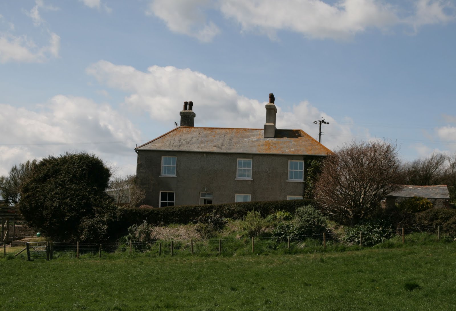
Brimstone Bottom Barn (left) and Sea Barn Farm (right) - SY7682

We joined the South-west coast path and walked south-westwards towards Whitenothe where there are some coastguard cottages and a World War 2 pillbox.

Joining the south-west coast path - SY76781

Whitenothe from SY7681
We walked in the corner of SY7781 - time for another surreptitious photo of a Gorse bush.

South-west coast path in SY7781

Whitenothe means 'White Nose' and it's easy to see how it got this name. The chalk cliffs were gleaming bright white in the sun. there were stunning views of Portland, Weymouth and Ringstead Bay.

Ringstead Bay from Whitenothe - SY7780
World War II pill box - SY7780
We walked past West Bottom and the Beacon, presumably placed here as landmarks (there is another one further along). Then it was a steep descent to  Middle Bottom with fantastic views en route.

West Bottom beacon - SY7880
View eastwards towards Bat's Head from Middle Bottom - SY7880
Looking towards Whitenothe and Portland from SY7880
There was a steep ascent and then descent to Bat's Head, which juts precariously out into the ocean. I say precariously because none of us dared venture onto this pinnacle of land, especially after the recent landslips here. The family of rocky islets known from west to east as The Calf, The Cow, The Blind Calf and The Bull were visible only as dark shadows under the turquoise sea as it was high tide.

Butter Rock and Bat's Head
Steve told us that Butter or Cheese Rock is so named because at sunset the sun shines on it and turns it into a buttery yellow colour.

Butter Rock and eastwards - SY7980

The coast path has, by necessity, taken a detour inland here because the cliffs eroded away a couple of years ago and indeed continue to erode. It amazes me how there are not more fatalities than there are as people still picnic beneath the cliffs and walk dangerously close to the edge, desipte gaping holes which repeatedly appear.

At the turn off for Scratchy Bottom, we discussed our options - continue on to Durdle Door or head inland now up Scratchy Bottom. Forgetting my desire to see Scratchy Bottom, I voted most decidedly for seeing Durdle Door and there was a consensus on this option. Why waste a good day walking inland more than you need to? One possible reason you might decided on this latter course of action is the crowds. I was not prepared for the Spanish Riviera. Flocks of people of all ages and sizes suddenly crowded our path and were picnicing and lolling around on the beach whilst we laboured on. Then there was the monstrosity of the camp site with its caravans, pods and singular tent pitched puzzlingly next to the path. That's the bad stuff out of the way (oh, apart from the public toilets being closed -glad we hadn't paid to park here to discover that!) Now for the good news - the views! Wow! I am so glad I saw Durdle Door for the first time in brilliant sunshine with blinding white cliffs and diamond-studded sea.
Approaching Durdle Door with the crowds on the beach - SY8080


Durdle Door with the Bull rock visible in the centre of the photo. - SY8080

I liked the fact that Durdle Door was in a memorable gridsquare - SY8080.

We sat with our lunch and were joined by hungry opportunistic Rooks as we bathed in the sun, resisting the temptation to buy an overpriced soft drink or ice-cream.

We then headed north, through the aforementioned campsite, past Newlands Farm (recently converted into holiday cottages), and onto Daggers Gate where we were told the disturbing story about the witch who could turn herself into a hare and whose daughter stabbed the farmer here and how he continues to haunt the area.


House south of Newlands Farm - SY8180


Daggers Gate - SY8181

We turned north-westwards here and walked through fields of Rapeseed. The stunning yellow contrasted vividly with the bright blue sky.


Fields near Newlands Farm - SY8081

Usually I have found that the coastal path far exceeds the inland route in terms of scenery, but I was pleased to discover some hidden gems as we walked through valleys and past Winfrith Hill.


Disused chalk pit near Chaldon Herring - SY8082

There was another field of Rapeseed before we reached the delightfully named village of Chaldon Herring.


Rapeseed field near Chaldon Herring - SY7983

We passed through the sleepy village of Chaldon Herring, (Chaldon meaning a hill where calves graze). I liked the builder's sign on the Old Vicarage Farm. It must be pre1995 as that's when phONE day happened when all phone numbers had a 1 or 2 inserted after the 0.


Old sign on Old Vicarge Farm -SY7983

We resisted the temptation to call in at The Sailor's Return and laughing at the badly placed sign that John pointed out - warning lorry drivers that the footbridge will not bear the weight of their vehicle.


Unsuitable for HGVs - SY7983

Wearying now, we trudged northwards along the road towards The Five Marys, a series of tumuli with an intriguing name, about which I have not been able to discover the origin.


The Five Marys - tumuli - SY7984

Once again we headed westwards, crossing a minor road, more pits and a tumulus. The pits were chalk pits, chalk being widely used in the 1800s as a fertilizer. 


Ridgeway footpath near the Five Marys - SY7884


In SY7784 we crossed another minor road, although it is the same one that runs through West Chaldon and Chaldon Herring and leads onto the main Wareham Road.

The footpath passes the Lord's barrow, though you'd be forgiven for missing it or thinking it was just a lump in the field, not an erstwhile burial site of some importance.


Lord's Barrow - SY7784

Our next, and final road was named Gallows Hill so was presumably the site of some grisly executions, though I have not been able to find out anything more specific about it.


Gallows Hill and Owermoigne Barn - SY7784


We headed down the road towards Holworth, noticing the newly painted letterbox in front of the cottages here. 


Holworth Cottages and letterbox - SY7683

The sign for North Holworth was particularly attractive and worthy of a photo.


North Holworth - SY7683

Soon we were walking through familiar territory back to the car. What a fantastic walk. I think I'd managed to be sociable whilst completing my quest. Many thanks to Johnn for organising the walk.

Miles: 11 miles
Natural arches: 1
Gridsquares: 17